India’s Coastline Recalculated: Methodology, Challenges, and Impact
Context:
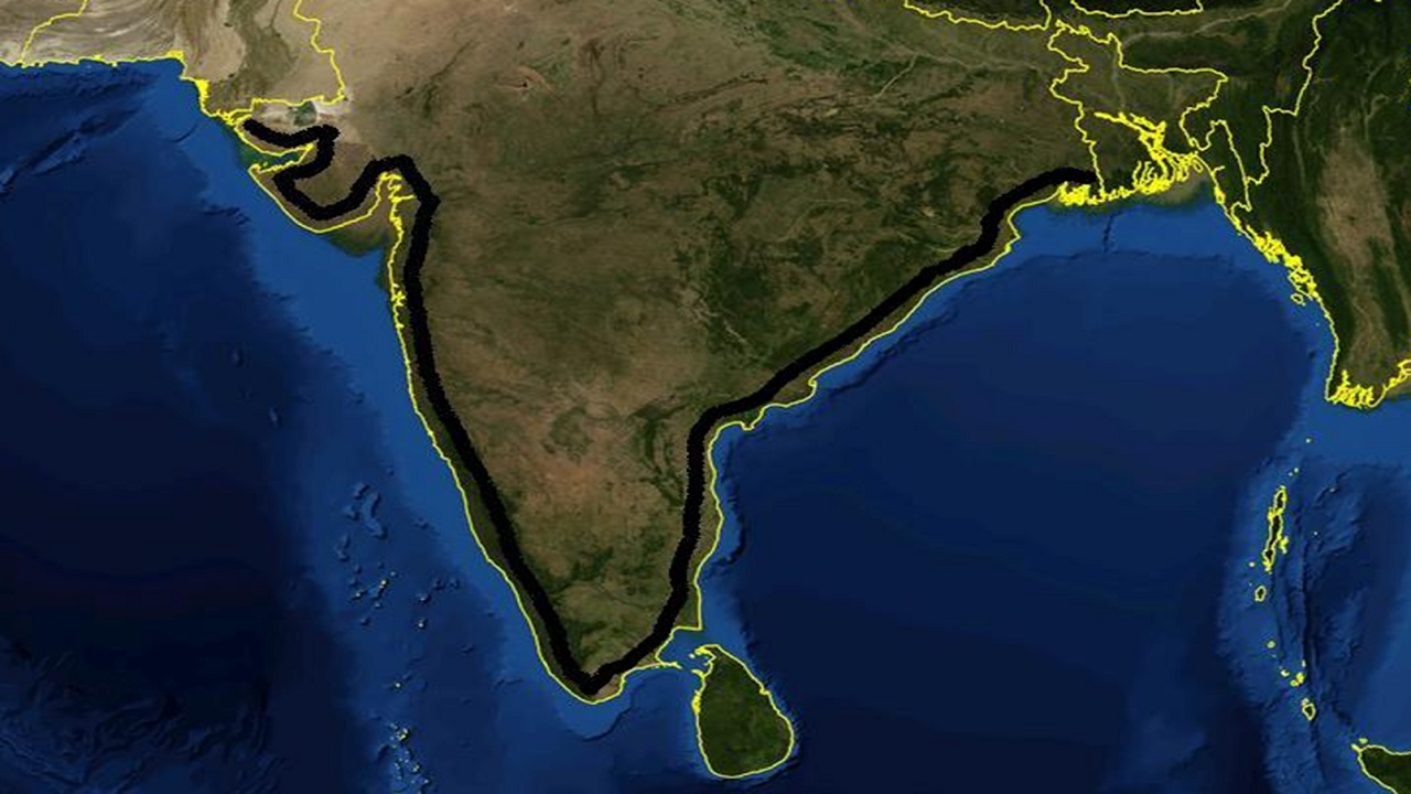
India’s coastline has been revised from 7,561.60 km to 11,098.81 km, marking an increase of 3,537.21 km, or nearly 50%.
This update results from advanced measurement methods and better mapping technology. Understanding the reasons and implications is crucial for policy, security, and planning.
Challenges in Measuring Coastline
-
Coastline Paradox: Introduced by Lewis Fry Richardson in the 1950s, it highlights that the length of a coastline varies with the scale of measurement.
-
Fractal Nature: Benoît Mandelbrot (1967) found coastlines exhibit fractal-like properties — the more detailed the measurement, the longer the coastline appears.
-
Ruler Dependency:
-
A 200 km ruler smooths out small features.
-
A 1 km ruler captures every inlet, creek, and curve.
-
As the ruler gets smaller, the measured length increases.
-
Reasons for the Increase in India’s Coastal Length
-
Change in Calculation Method:
-
Earlier methods used straight-line distances.
-
New method uses a fractal approach, recording every natural feature and curve.
-
-
Higher Map Resolution:
-
Previous data used a 1:4,500,000 scale from the 1970s.
-
Updated data used 1:250,000 scale electronic navigation charts by the Survey of India and National Hydrographic Office (NHO).
-
-
Updated High Water Line:
-
Based on 2011 high tide data.
-
River mouths and creeks were closed at a fixed inland point.
-
-
Inclusion of Offshore Islands:
-
About 1,389 islands/islets not included earlier are now considered.
-
Coastline of each individual island is included in the final measurement.
-
Revised Coastline Length by Region
-
Andaman & Nicobar Islands – 3,083.5 km
-
Gujarat – 2,340.6 km
-
Tamil Nadu – 1,068.7 km
-
Andhra Pradesh – 1,053.1 km
-
Maharashtra – 878.0 km
-
West Bengal – 721.0 km
-
Kerala – 600.2 km
-
Odisha – 574.7 km
-
Karnataka – 343.3 km
-
Goa – 194.0 km
-
Lakshadweep Islands – 144.8 km
-
Daman & Diu – 54.4 km
-
Puducherry – 42.7 km
-
Total – 11,098.81 km
The coastline will now be reviewed every 10 years using updated datasets.
Implications of the Updated Coastline
-
Maritime Security:
-
A longer coastline demands enhanced maritime surveillance and resource allocation.
-
-
Disaster Preparedness:
-
Helps in better planning for cyclones, sea-level rise, and other coastal hazards.
-
Improves zoning regulations and climate adaptation strategies.
-
-
Exclusive Economic Zone (EEZ):
-
May result in an expansion of marine rights over natural resources like fisheries, oil, and gas.
-
-
Coastal Regulation and Development:
-
Requires updates to CRZ norms and coastal management plans.
-
Affects construction, tourism, and environmental conservation.
-
-
Infrastructure Planning:
-
Enables more accurate planning of ports, industrial zones, and coastal projects.
-
-
Educational Revisions:
-
The revised length must be reflected in textbooks and official documents.
-


_(14).jpg)
Comments (0)