
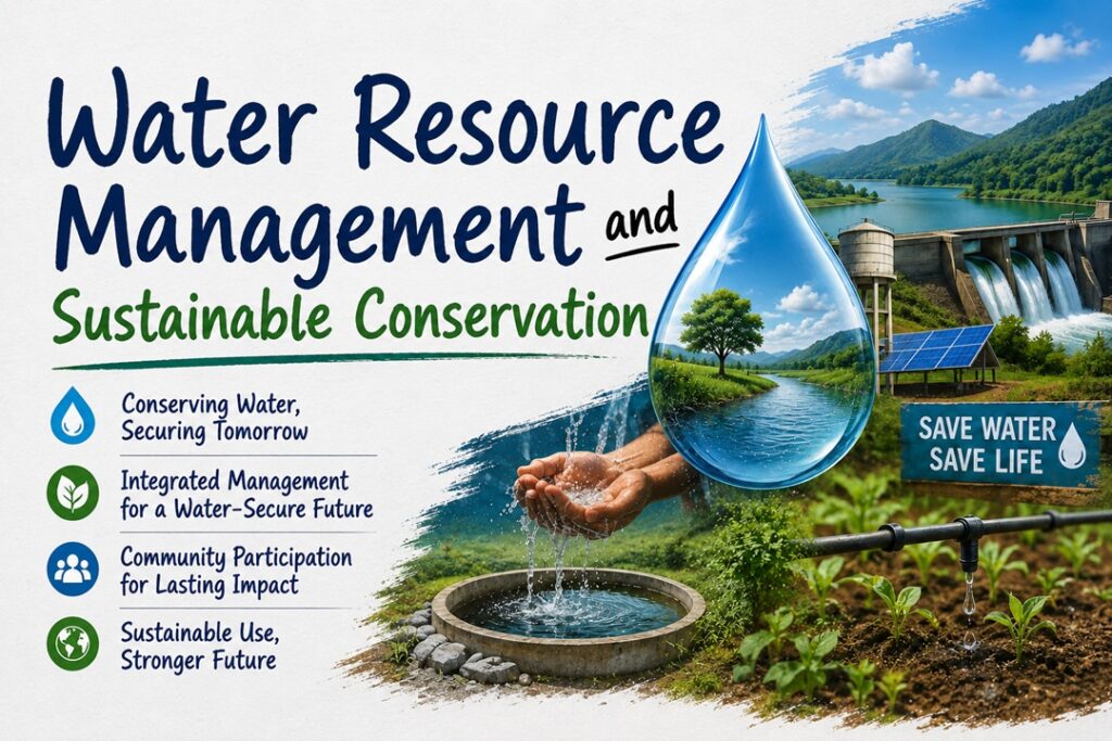
Water Resource Management and Sustainable Conservation
Context
The Ministry of Jal Shakti emphasized strengthening India’s water security through integrated conservation measures, highlighting the successful implementation of the Atal Bhujal Yojana in over 8,200 water-stressed Gram Panchayats and the expansion of technology-driven groundwater management.
Water Resource Management and Sustainable Conservation
About Water Resource Management and Sustainable Conservation
What is it?
Water resource management refers to the planned development, regulation, conservation, and efficient utilization of surface water and groundwater to ensure sustainable availability for agriculture, domestic use, industries, and ecosystems. Although water is a State subject under the Constitution, the Central Government supports states through financial assistance, scientific research, digital monitoring systems, and nationwide conservation programmes that promote efficient water use and groundwater recharge.
Important Facts and Statistics
National Water Body Census
- More than 24.2 lakh water bodies have been identified, surveyed, and geo-tagged across the country to establish a scientific database for restoration and long-term planning.
Jal Sanchay Jan Bhagidari (JSJB)
- More than 1.55 crore water conservation, storage, and groundwater recharge structures have been created and geo-tagged across India (as of May 2026).
Atal Bhujal Yojana
- Implemented in 8,203 water-stressed Gram Panchayats across 229 blocks, 80 districts, and seven states:
- Gujarat
- Haryana
- Karnataka
- Madhya Pradesh
- Maharashtra
- Rajasthan
- Uttar Pradesh
Catch the Rain Campaign
- Over 2 crore water conservation and groundwater recharge works have been completed through convergence of various government schemes (as of July 28, 2026).
Major Techniques of Water Conservation
Community-Based Water Governance
Local communities and Gram Panchayats prepare water budgets, monitor groundwater extraction, and promote efficient water use instead of depending solely on increasing water supply.
Example: Farmers under the Atal Bhujal Yojana increasingly adopting drip irrigation and shifting to less water-intensive crops.
Scientific Aquifer Mapping
Remote Sensing (RS), Geographic Information Systems (GIS), and hydrogeological surveys are used to identify groundwater-bearing formations and recharge zones.
Example: NAQUIM 2.0 has mapped nearly 25 lakh sq. km of India’s aquifer area to support scientific groundwater planning.
Real-Time Groundwater Monitoring
Digital Water Level Recorders (DWLRs) installed in observation wells continuously measure groundwater levels and transmit data for monitoring.
Example: More than 24,000 monitoring stations operate under the National Hydrology Project.
Satellite-Based Hydrological Monitoring
Satellite imagery and hydrological models are used to monitor river flow, reservoir storage, rainfall, and flood situations.
Example: The Flood Watch India application monitors 592 flood stations and around 150 major reservoirs across the country.
Major Government Initiatives
National Aquifer Mapping Programme (NAQUIM)
- Scientific mapping of nearly 25 lakh sq. km of aquifer area.
- Preparation of district-level groundwater management plans.
- Identification of recharge zones for sustainable groundwater development.
India Groundwater Resource Estimation System (IN-GRES)
- Web-based scientific platform for groundwater assessment.
- Supports planning under Jal Shakti Abhiyan, MGNREGA, and other water conservation programmes.
- Standardizes groundwater estimation across states.
Water Information Management System (WIMS)
- Centralized digital platform established under the National Hydrology Project.
- Stores and manages hydrological information.
- Supports reservoir operations, canal management, and water resource planning.
PMKSY Digital Asset Mapping
- Geo-tagging of irrigation assets created under Har Khet Ko Pani (HKKP).
- Unique identification numbers assigned to water conservation structures.
- Helps monitor restoration of water bodies and irrigation infrastructure.
Challenges in Water Resource Management
Fragmented Governance
Since water is primarily a State subject, differences in institutional capacity and policy priorities often lead to inconsistent implementation and interstate river disputes.
Example: Delays in integrated river basin management because of differing state interests.
Excessive Groundwater Extraction
Subsidized electricity and cultivation of water-intensive crops encourage excessive groundwater pumping.
Example: Rapid depletion of groundwater in paddy-growing regions of northwestern India.
Poor Maintenance of Water Structures
Many recharge structures, ponds, and check dams lose their effectiveness because of silt accumulation and inadequate maintenance.
Example: Check dams gradually losing storage capacity due to soil erosion.
Limited Local Capacity
Advanced hydrogeological data often remains at higher administrative levels without being effectively used by local institutions.
Example: Gram Panchayats lacking trained personnel to prepare scientific water budgets.
Way Forward
Expand Community-Led Water Management
Scale up the Atal Bhujal Yojana model to all water-stressed regions and strengthen village-level water budgeting.
Promote Universal Rainwater Harvesting
Make rooftop rainwater harvesting mandatory in urban and rural buildings while linking recharge structures with aquifer maps.
Improve Agricultural Water Efficiency
Promote drip irrigation, sprinkler systems, crop diversification, and water-efficient farming practices under PMKSY.
Create an Integrated Water Information Platform
Combine data from IN-GRES, WIMS, NAQUIM, JSJB, and other digital platforms into a unified real-time decision-support system for planners and local authorities.
Strengthen Capacity Building
Provide technical training to Gram Panchayats, Water User Associations, and local bodies for scientific groundwater management and digital data utilization.
Conclusion
India’s long-term water security depends on combining scientific innovation with community participation and effective governance. Expanding groundwater mapping, strengthening digital monitoring systems, improving water-use efficiency, and empowering local institutions will enable sustainable management of both groundwater and surface water resources. A coordinated approach involving governments, communities, and technology will be essential to ensuring reliable water availability for future generations.
Source : PIB