
Western Ghats Ecologically Sensitive Area: Balancing Conservation and Development
Context
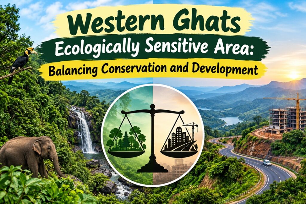
The Karnataka Legislature has unanimously opposed the Centre’s seventh draft notification on the Western Ghats Ecologically Sensitive Area (ESA) in its current form. It has sought to limit the ESA primarily to notified forests and called for cadastral-level surveys before finalising the boundaries. The disagreement highlights the continuing challenge of reconciling ecological protection with the livelihood and development concerns of Western Ghats communities.
Kasturirangan Report and the Western Ghats
The Kasturirangan Committee, formally the High-Level Working Group (HLWG), was constituted by the Ministry of Environment and Forests to review the earlier Western Ghats Ecology Expert Panel headed by Madhav Gadgil. Its 2013 report attempted to establish a more targeted regulatory framework while allowing development in less ecologically fragile areas.
The report examined about 1.64 lakh sq. km across Gujarat, Maharashtra, Goa, Karnataka, Kerala and Tamil Nadu along the Western Ghats. It divided this landscape broadly into natural and cultural areas. While natural landscapes accounted for around 41%, the remaining 59% was largely human-dominated and supported nearly 50 million people.
The committee recommended declaring about 60,000 sq. km, or nearly 37% of the Western Ghats, as an Ecologically Sensitive Area. This covered a substantial majority of the contiguous natural landscape.
Approach to ESA Delimitation
The Kasturirangan approach relied on high-resolution satellite-based mapping and used revenue villages as an important administrative unit. Unlike the Gadgil approach, which proposed a broader graded system of ecological zones, it focused regulatory restrictions on activities considered particularly damaging to ecologically sensitive areas.
The report also envisaged economic mechanisms to make conservation compatible with local development. These included a Western Ghats Sustainable Development Fund, debt-for-nature mechanisms and Payments for Ecosystem Services (PES).
It proposed a joint geospatial monitoring mechanism involving the six states to monitor ecological changes and improve climate-related planning. It also emphasised the participation of Gram Sabhas and recognition of rights under the Forest Rights Act for development decisions affecting ESA villages.
Major Regulatory Proposals
The report recommended stringent restrictions on activities with potentially high ecological impacts.
- New mining, quarrying and sand mining within the ESA were proposed to be prohibited, with existing leases to be phased out.
- New thermal power plants were to be prohibited.
- Run-of-the-river hydropower projects were to be subject to cumulative impact assessments, ecological-flow requirements and limits on river-basin impacts.
- Highly polluting ‘Red’ category industries were proposed to be prohibited, while certain ‘Orange’ category activities could continue under regulation.
- New townships and large-scale area development projects were to be restricted.
- Construction projects of 20,000 sq. metres or more were proposed to be prohibited within the ESA.
- Permissible infrastructure projects were to undergo stringent environmental scrutiny, with certain projects within a 10-km zone around the ESA boundary also subject to environmental assessment requirements.
Why Has Implementation Remained Difficult?
A major concern is the difference between satellite-based ecological mapping and conditions on the ground. Where an entire revenue village is treated as an ESA because of vegetation characteristics within part of its territory, homes, schools, agricultural fields, roads and other established settlements may also fall within the regulatory boundary.
In Karnataka, farmers, plantation owners and areca-nut growers have expressed concerns that restrictions could affect land-use changes, property division and essential rural infrastructure. These concerns have contributed to resistance to successive draft notifications.
Another difficulty is prolonged uncertainty. Despite repeated drafts since 2014, a final statutory notification has not been issued. This creates uncertainty for both conservation planning and legitimate economic activity.
At the same time, restricting the ESA only to legally notified forests could leave ecologically valuable landscapes outside formal protection. Wildlife corridors, sacred groves and privately held shola-grassland ecosystems may exist beyond notified forest boundaries. Thus, a forest-only approach may simplify administration but could create ecological gaps.
Need for Ground-Level Demarcation
The central issue is therefore not simply whether an area should be protected, but how its boundaries should be scientifically and fairly identified.
A cadastral approach can locate ESA boundaries at the level of individual survey numbers. This can help distinguish forests and critical ecological habitats from established settlements, agricultural land and other areas where blanket restrictions may be inappropriate.
A participatory process involving Forest and Revenue Departments, local governments and communities can also reduce disputes by combining satellite information with physical verification.
Way Forward
- Cadastral ground-truthing: Conduct joint physical surveys involving Forest and Revenue officials, local bodies and village representatives to identify ESA boundaries at the property-survey level.
- Physical verification: Incorporate field-based verification methods used in other Western Ghats states to validate satellite-derived boundaries before final notification.
- Graded regulation: Apply stronger restrictions to core ecological landscapes while adopting proportionate, livelihood-sensitive regulations in adjoining agricultural and settlement areas.
- Protect ecological corridors: Ensure that important wildlife corridors, sacred groves and privately held ecologically valuable habitats are not excluded merely because they fall outside notified forests.
- Use conservation incentives: Implement Payments for Ecosystem Services and related financial mechanisms to compensate communities that maintain forests, agroforestry systems and other ecosystem services.
- Finalise boundaries transparently: Replace repeated provisional drafts with a scientifically validated and publicly scrutinised demarcation process.
Conclusion
The Kasturirangan approach was intended to reconcile ecological conservation with human development in the Western Ghats. The continuing disagreement shows that effective ESA governance requires more than satellite-based identification or blanket restrictions. A combination of cadastral surveys, ecological evidence, community participation and differentiated regulation can provide a more durable basis for protecting this biodiversity-rich landscape while addressing legitimate livelihood concerns.
Source : The Hindu