
NavIC: Strengthening India’s Strategic Autonomy in Satellite Navigation
Context
The successful launch of NVS-03 by ISRO on October 30, 2026, aboard GSLV-F18 has renewed attention on India’s indigenous Navigation with Indian Constellation (NavIC) system. The mission aims to improve the reliability of India’s regional navigation infrastructure and reduce dependence on foreign satellite navigation services.
What is NavIC?
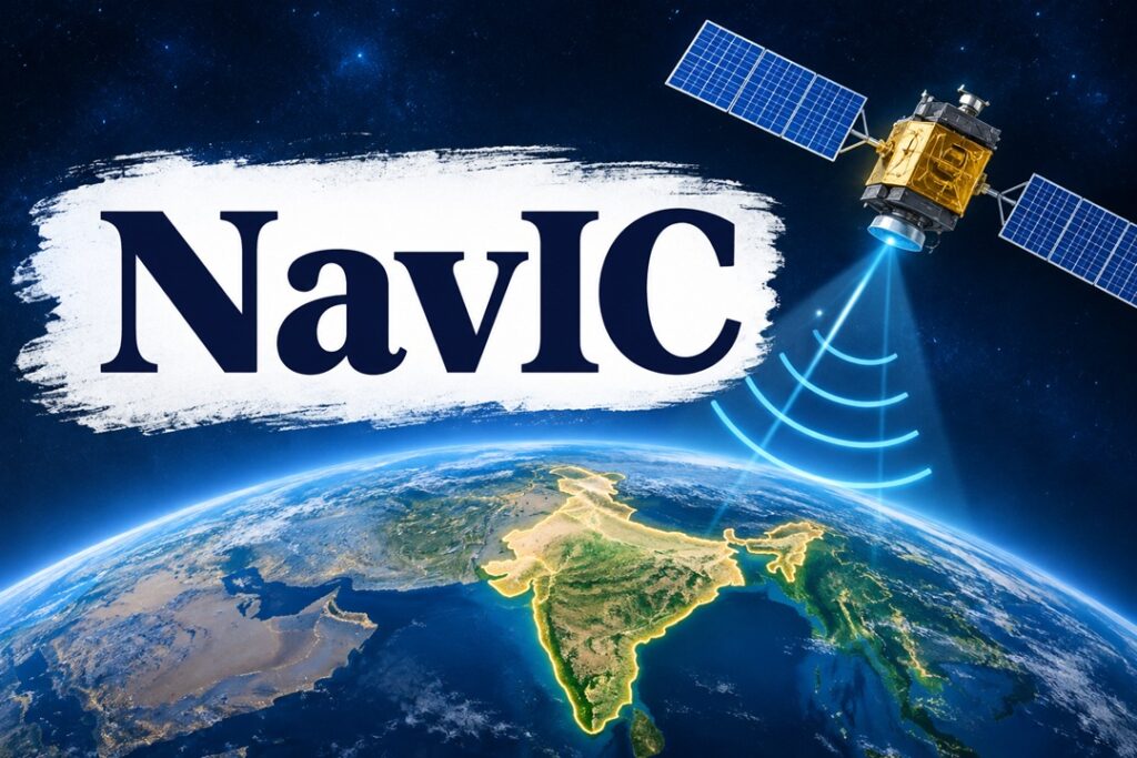
NavIC, formerly known as the Indian Regional Navigation Satellite System (IRNSS), is an indigenous satellite-based navigation system developed by the Indian Space Research Organisation (ISRO). It provides independent Positioning, Navigation and Timing (PNT) services.
- Genesis: The system was conceptualised after the United States declined to provide GPS-related assistance to India during the 1999 Kargil conflict, highlighting the strategic risks of technological dependence.
- Coverage: It covers India and an area extending approximately 1,500 km beyond its national boundaries.
- Service Categories:
- Standard Position Service (SPS): Open navigation service available to civilian users.
- Restricted Service (RS): Encrypted service intended for authorised strategic and defence users.
- Applications: Supports military operations, transportation, maritime navigation, disaster management, surveying and precision agriculture.
NVS-03 and Its Strategic Significance
NVS-03 is the third satellite in ISRO’s next-generation Navigation with Indian Constellation series, comprising five planned satellites to improve NavIC’s operational capabilities.
- Launch Details: Launched on October 30, 2026, using GSLV-F18 from the Satish Dhawan Space Centre, Sriharikota.
- Navigation Frequencies: Operates across L1, L5 and S frequency bands, improving compatibility and service delivery.
- Atomic Clock Technology: Carries an indigenous atomic clock alongside imported clocks, contributing to greater technological self-reliance.
- Improved Navigation Services: Strengthens signal availability, positioning accuracy and continuity of navigation services.
Status of the NavIC Constellation
- Before NVS-03, only three satellites—IRNSS-1B, IRNSS-1I and NVS-01—were providing positioning, navigation and timing services.
- A minimum of four operational satellites is required for basic positioning services.
- Of the nine functional satellites, four can transmit navigation signals, while five support one-way messaging.
- ISRO reports timing accuracy better than 50 nanoseconds, highlighting NavIC’s importance for precision-dependent applications.
NavIC vis-à-vis Global Navigation Satellite Systems
NavIC is a regional navigation system, whereas GPS provides global coverage. Rather than competing exclusively with international systems, NavIC strengthens India’s independent capabilities while enabling interoperability with other Global Navigation Satellite Systems (GNSS).
- GPS (USA): Provides worldwide positioning, navigation and timing services.
- Galileo (European Union): Offers an independent global satellite navigation service.
- GLONASS (Russia): Provides global navigation coverage.
- BeiDou (China): China’s independently developed global navigation system.
NavIC’s compatibility with these systems enables receivers to utilise multiple satellite constellations, improving navigation flexibility and service availability.
Why Does India Need an Independent Navigation System?
- Strategic Autonomy: Reduces dependence on foreign-controlled navigation infrastructure, particularly during geopolitical tensions or international conflicts.
- Defence Preparedness: Provides dependable positioning and timing inputs for military logistics, missile guidance and other strategic operations.
- Technological Sovereignty: Encourages domestic development of satellite systems, atomic clocks, navigation chips and related infrastructure.
- Economic Development: Supports aviation, road transportation, fisheries, agriculture, maritime activities and location-based commercial services.
- Disaster Management: Strengthens emergency communication, search-and-rescue operations and coordination during natural disasters.
- Critical Infrastructure Protection: Provides an independent timing reference for communication networks, financial transactions and other essential services.
Challenges in Strengthening NavIC
- Regional Coverage: Its geographical reach is limited compared to global systems such as GPS, restricting its suitability for worldwide navigation.
- Satellite Reliability: Earlier satellite failures and ageing infrastructure have affected constellation availability and service continuity.
- Technological Dependence: Continued reliance on imported atomic clocks indicates gaps in indigenous precision-engineering capabilities.
- Limited Market Penetration: Inadequate integration into smartphones, automobiles, aviation equipment and commercial navigation devices restricts widespread adoption.
- Constellation Requirements: Maintaining sufficient operational satellites and orbital redundancy is essential for uninterrupted navigation services.
- Awareness and Standardisation: Limited consumer awareness and the need for wider industry-level compatibility standards constrain its utilisation.
Way Forward
- Complete Satellite Deployment: Ensure timely launches of the remaining NVS-04 and NVS-05 satellites planned for 2027 to strengthen constellation capacity.
- Develop Indigenous Components: Accelerate research into reliable atomic clocks, navigation receivers, semiconductor chips and other critical technologies.
- Expand Domestic Integration: Encourage NavIC-compatible devices through appropriate standards and incentives for smartphone manufacturers, automobile companies and transport operators.
- Ensure Operational Resilience: Establish adequate satellite redundancy, continuous monitoring and backup capabilities to minimise service disruptions.
- Strengthen International Compatibility: Promote interoperability with other GNSS platforms for civilian and commercial applications without compromising strategic independence.
- Encourage Research and Innovation: Support collaboration between ISRO, academic institutions, startups and private industries to develop affordable NavIC-based solutions.
Conclusion
NavIC represents more than an alternative navigation technology; it is an important instrument of India’s strategic autonomy and technological sovereignty. Although it cannot completely replace global systems such as GPS, strengthening its satellite constellation, indigenous technological capabilities and civilian adoption can establish it as a reliable pillar of India’s national security and digital infrastructure.
Source : The Hindu