
Indo-Pacific Maritime Domain Awareness: Strengthening Surveillance for Secure Sea Lanes
Context
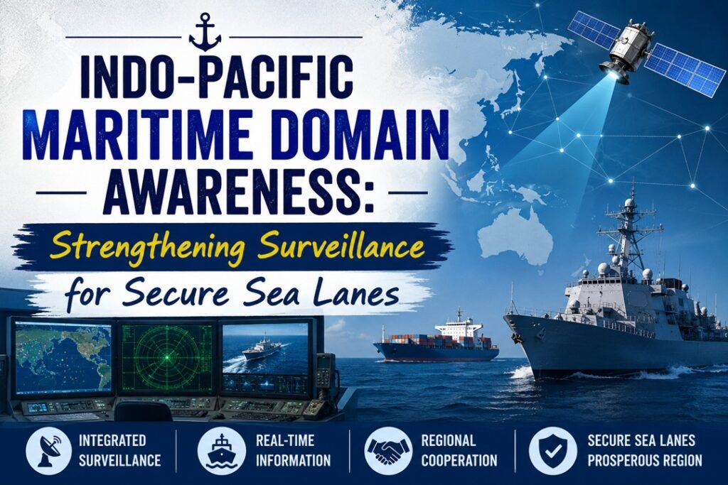
Rising geopolitical tensions in West Asia and the Indo-Pacific have highlighted the need to accelerate the Indo-Pacific Partnership for Maritime Domain Awareness (IPMDA) to strengthen maritime surveillance, protect critical sea routes, counter illicit activities and ensure uninterrupted global trade and freedom of navigation.
Understanding IPMDA
What does IPMDA do?
- The Indo-Pacific Partnership for Maritime Domain Awareness (IPMDA) is a technology-enabled multilateral initiative launched by the Quad—India, Australia, Japan and the United States.
- It seeks to provide a shared, near-real-time maritime picture across the Indian Ocean, Southeast Asia and Pacific Island regions.
- By integrating commercial satellite radio-frequency (RF) information, Synthetic Aperture Radar (SAR) and Automatic Identification System (AIS) data, it helps detect dark vessels, combat illicit maritime activities and secure key Sea Lines of Communication (SLOCs).
Evolution of the Maritime Surveillance Initiative
- 2022 Tokyo Quad Summit: IPMDA was announced at the Quad Leaders’ Summit in Tokyo in May 2022 as a non-military initiative aimed at improving maritime transparency and delivering a regional public good.
- Regional Information Networks: It builds upon existing maritime information centres, including India’s Information Fusion Centre–Indian Ocean Region (IFC-IOR), Singapore’s Information Fusion Centre and the Pacific Islands Forum Fisheries Agency.
- Use of Commercial Satellite Inputs: The initiative relies on commercially available, unclassified RF and SAR satellite data to identify vessels that attempt to evade conventional tracking systems.
- Expansion through IPMSC: In 2026, the Indo-Pacific Maritime Surveillance Collaboration (IPMSC) further strengthened cooperation through sensor integration, logistics training and technology-sharing between India and the U.S.
Why Maritime Awareness Matters for the Indo-Pacific and U.S.
- Protection of Strategic Trade Routes: More than $7 trillion of annual maritime commerce moves through Indo-Pacific routes and chokepoints such as the Malacca, Hormuz, Bab-al-Mandeb, Sunda and Lombok Straits.
- Reducing Surveillance Burden: As the U.S. Navy manages commitments across multiple theatres, regional partners such as India can provide greater maritime visibility across the vast Indian Ocean.
- Countering Grey-Zone Activities: Better tracking can expose covert maritime operations, state-linked activities, seabed research vessels and other coercive actions that remain below the threshold of conventional conflict.
- Quad as a Regional Security Provider: Sharing unclassified maritime information with smaller coastal countries can strengthen the Quad’s role as a provider of regional public goods.
Key Obstacles in Expanding IPMDA
- Hidden Vessel Tracking Gaps: Illegal fishing fleets, sanctions-evading tankers and other illicit operators frequently switch off AIS transponders, making persistent vessel identification difficult.
- Uneven Data Integration: Differences in national data standards, communication systems and legacy surveillance infrastructure can delay the seamless exchange of maritime information.
- Weak Response Capabilities: Several small island and coastal states may receive useful intelligence but lack sufficient patrol vessels, aircraft, drones or fuel to act upon detected violations.
- Strategic Concerns among ASEAN States: Some Southeast Asian countries remain cautious about deeper participation in Quad-led mechanisms because of concerns that it could be interpreted as taking sides in strategic competition with China.
- High Financial Requirements: Continuous access to high-resolution commercial satellite data across enormous oceanic areas requires stable and long-term funding.
Measures to Improve Maritime Surveillance
- Leverage AI for Real-Time Detection: Deploy machine-learning systems alongside satellite RF and radar inputs to automatically identify unusual vessel behaviour and predict suspicious movements.
- Broaden Cooperation with ASEAN and EU: Connect IPMDA with ASEAN maritime information centres and European initiatives such as CRIMARIO to develop a wider maritime surveillance network.
- Build Capabilities of Smaller Coastal States: Combine information-sharing with practical assistance, including offshore patrol vessels, surveillance drones, maritime aircraft support and boarding-and-inspection training.
- Enhance India’s IFC-IOR: Strengthen international liaison networks and expand India’s maritime surveillance capabilities to make IFC-IOR a major coordination hub for Indian Ocean security.
- Align Maritime Legal Frameworks: Develop compatible legal and enforcement mechanisms under UNCLOS to address illegal fishing, smuggling, pollution and other maritime violations across international waters.
Final Takeaway
IPMDA demonstrates how commercial space-based technologies and regional information-sharing institutions can close maritime surveillance gaps without compromising national sovereignty. Greater participation by regional partners, stronger enforcement capabilities among smaller littoral states and deeper technological cooperation can help preserve freedom of navigation, maritime security and uninterrupted global trade across the Indo-Pacific.
Source : The Hindu