
Nepal–China Border Floods: Himalayan Hazards, Transboundary Risks and Regional Disaster Preparedness
Context
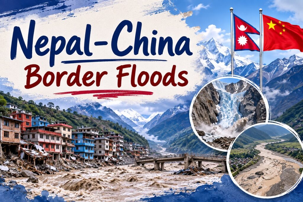
Recent flash floods and debris flows in the Bhotekoshi–Trishuli river system along the Nepal–China border have caused more than 500 deaths, highlighting the growing exposure of Himalayan communities to cascading geological and climate-induced hazards.
How did the Himalayan disaster unfold?
- Glacier–rock mass failure – At around 5,200 m near Langtang Lirung, a massive combination of glacier ice and rock broke away and plunged nearly 1,200 m into the Lhende Khola.
- During its descent, the mass incorporated additional rocks, ice, sediment and water, transforming into a fast-moving and highly destructive debris flow.
- Temporary river obstruction – The debris blocked the river channel and caused water to accumulate behind the natural barrier.
- The subsequent breach generated a powerful surge that entered the Bhote Koshi–Trishuli system and affected settlements almost 140 km downstream.
- Seismic signatures of the collapse – The United States Geological Survey (USGS) detected seismic waves associated with the glaciated cliff failure rather than conventional tectonic activity.
- Around three hours later, another event generated energy comparable to a magnitude 4.2 earthquake, producing earthquake-like signals.
- Evidence from remote sensing – Satellite observations by ISRO’s National Remote Sensing Centre (NRSC), including Sentinel-2 and Resourcesat-2A imagery, showed major changes around the northern cliff of Langtang Lirung.
- These observations strengthened the evidence that a high-altitude glacial cliff collapse triggered the disaster.
Why is this disaster a transboundary concern?
- Nepal–China border impacts – Nearly 72 km of territory along the Nepal–Tibet border was severely affected, resulting in extensive destruction and casualties on both sides.
- Damage to a strategic trade gateway – The disaster destroyed China’s $175.8 million Gyirong Port, an important commercial and tourism link between Nepal and China.
Downstream implications for India
- River-system connectivity – Rivers originating in Nepal, including the Trishuli, Narayani, Gandak and Kosi, contribute substantially to river flows entering India and ultimately the Ganga basin.
- Flood preparedness – Bihar, Uttar Pradesh and Uttarakhand have heightened alerts and undertaken precautionary evacuations in vulnerable areas.
- Movement of flood victims – Floodwaters carried victims’ bodies nearly 240 km downstream into Indian territory.
- Enhanced Himalayan surveillance – Authorities in Uttarakhand have increased monitoring of glaciers and high-altitude lakes to identify potential flood and breach risks.
Why are the Himalayas increasingly hazard-prone?
- Young and fragile mountain system – The Himalayas are relatively young fold mountains with complex geology and considerable structural instability.
The Himalayas are often described as the world’s “third pole”, owing to their enormous reserves of snow and ice after the Arctic and Antarctic.
- Permafrost degradation – Rising temperatures are accelerating the thawing of permafrost, weakening the frozen material that helps hold rocks and soil together.
Permafrost refers to ground containing soil, rock or other material that remains at or below 0°C for an extended period.
- Slope destabilisation – Thawing, erosion and changing hydrological conditions can increase the likelihood of landslides and rockfalls.
- Active tectonic setting – The Himalayas lie along the collision zone of the Indian and Eurasian tectonic plates.
- Earthquake-triggered hazards – Earthquakes can initiate landslides, avalanches, rockfalls and glacial lake outburst floods (GLOFs).
- Accelerating cryospheric change – Rising temperatures contribute to glacier retreat and destabilisation of frozen mountain environments.
- Growing glacial lakes – Enlargement of glacial lakes can increase the potential for sudden GLOF events.
- Intense rainfall – Short-duration, high-intensity precipitation can rapidly trigger flash floods, debris flows and landslides.
- High-gradient rivers – Steep Himalayan river channels allow enormous quantities of water, sediment and debris to move rapidly downstream.
- Accumulated tectonic stress – Ongoing plate convergence continually generates geological stress.
- Locked fault systems – Sudden rupture of locked faults can release accumulated energy in the form of major earthquakes.
- Human-induced pressure – Roads, hydropower projects, deforestation, tourism and other infrastructure activities can increase pressure on fragile slopes.
- Carrying-capacity concerns – Unplanned settlements and development beyond the ecological capacity of mountain environments can magnify disaster consequences.
What makes Himalayan disasters difficult to predict?
- Limited predictability – Scientists can identify unstable glaciers and hazardous zones, but precisely determining when a glacier or mountain slope will collapse remains extremely difficult.
- Abrupt failure mechanism – Apparently stable glaciers and slopes can suddenly fail after remaining unchanged for long periods.
- Complex interacting triggers – Temperature fluctuations, meltwater, fractures, permafrost degradation, bedrock conditions and freeze–thaw cycles can collectively influence stability.
- No dependable collapse forecasting model – Unlike weather systems, the exact timing of a glacier collapse cannot currently be predicted with sufficient reliability.
- Remote-sensing constraints – Satellite imagery is highly useful for detecting changes but cannot consistently forecast sudden failures.
- Monitoring is also affected by cloud cover, satellite revisit periods, spatial resolution and the extreme inaccessibility of high-altitude terrain.
How can India strengthen downstream preparedness?
1. Upgrade flood forecasting in Bihar and Uttar Pradesh
- Employ hydrological models for near-real-time flood prediction.
- Combine India Meteorological Department rainfall information with satellite observations.
- Strengthen last-mile warning dissemination through mobile networks and local administrative systems.
2. Strengthen embankment surveillance
- Conduct regular structural inspections along the Ganga and its tributaries.
- Use drones and remote sensing to identify weak sections.
- Undertake preventive reinforcement before and during the monsoon.
3. Expand river-monitoring infrastructure
- Install Internet of Things (IoT)-based sensors for continuous river-level observations.
- Transmit information to centralised flood-control centres.
- Use real-time measurements to improve flash-flood and embankment-breach warnings.
4. Modernise evacuation preparedness
- Prepare district-level hazard maps showing evacuation routes and safe zones.
- Conduct regular community-level mock drills.
- Periodically revise evacuation plans using updated floodplain and risk assessments.
5. Enhance NDRF–SDRF coordination
- Maintain specialised response units in high-risk districts.
- Pre-position boats, drones, medical supplies and communication equipment.
- Conduct joint training and simulation exercises between the National Disaster Response Force (NDRF) and State Disaster Response Forces (SDRFs).
What regional measures can reduce future Himalayan risks?
Build a trilateral disaster-management framework
India, China and Nepal could establish a dedicated Himalayan Disaster Coordination Mechanism focused specifically on:
- Early-warning systems
- Flood-risk management
- Landslide prevention
- Glacier and glacial-lake monitoring
- Search and rescue
- Humanitarian assistance
Such a mechanism could keep disaster cooperation insulated from broader geopolitical disagreements.
Create a real-time information-sharing network
The three countries should facilitate rapid exchange of:
- River discharge and water-level data
- Rainfall observations
- Glacier movement
- Glacial-lake levels
- Landslide alerts
- Flood forecasts
- Meteorological information
Possible models include:
- Sequential model: China → Nepal → India
- Reciprocal model: China ↔ Nepal ↔ India
Rapid information transmission would give downstream populations valuable time to evacuate.
Develop a Himalayan transboundary warning architecture
A regional early-warning network could integrate:
- Satellite-based monitoring
- Weather radar
- River gauges
- Seismic stations
- Artificial intelligence-based flood forecasting
- Remote sensing
- Automated emergency alerts
The ideal chain should operate as:
Detection → Forecasting → Warning → Evacuation
Standardise cross-border rescue protocols
India, China and Nepal should develop common procedures for:
- Cross-border rescue operations
- Helicopter deployment
- Medical evacuation
- Emergency shelters
- Rescue equipment
- Missing-person coordination
- Assistance to foreign tourists
This is particularly important in remote Himalayan terrain where poor accessibility can delay emergency assistance.
Make critical infrastructure climate- and disaster-resilient
Risk-sensitive planning should prioritise:
- Hydropower facilities
- Bridges
- Roads
- Border checkpoints
- Telecommunication networks
- Power-transmission infrastructure
- River embankments
- Airports
Infrastructure in fragile mountain regions should follow disaster-resilient engineering principles rather than conventional construction approaches.
Establish emergency humanitarian corridors
During a major cross-border disaster, temporary facilitation mechanisms should enable rapid movement of:
- Food
- Medicines
- Rescue personnel
- Emergency equipment
- Fuel
- Temporary shelters
This would accelerate humanitarian relief to isolated populations.
Conduct regular trilateral simulations
India, China and Nepal could periodically undertake joint exercises covering scenarios such as:
- Glacier collapse
- Flash floods
- Landslides
- Border infrastructure disruption
- Downstream flooding
Such exercises would test the interoperability, communication and readiness of national disaster-response systems.
Way Forward
- Himalayan hazards do not respect political boundaries; an event originating in a high-altitude zone can rapidly become a crisis across Nepal, China and India.
- Disaster governance therefore needs to move beyond the idea of “my territory, my disaster” towards “shared ecosystem, shared risk and shared responsibility.”
- Strengthening scientific monitoring, real-time information exchange, resilient infrastructure and coordinated emergency response will be crucial for building a safer and more climate-resilient Himalayan region.
Source : The Hindu