
Strait of Hormuz and Malacca-Singapore Straits: Geography, International Law and Strategic Significance
Context
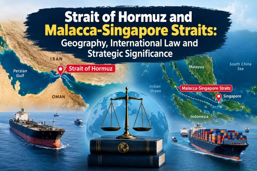
The Strait of Hormuz and the Malacca-Singapore Straits are among the world’s most strategically important maritime chokepoints. Their geographical configuration, territorial claims, international law and competing security interests have shaped different approaches to navigation and governance, with important implications for India’s energy and trade security.
Geographical Parallel Between the Two Maritime Chokepoints
The Malacca Strait, extending for roughly 800 km, and the Singapore Strait, about 105 km long, together connect the Andaman Sea with the South China Sea. At their narrowest points, their widths fall below 24 nautical miles.
This becomes legally significant because littoral states can claim territorial seas extending up to 12 nautical miles from their coasts. Where such claims overlap, there is no intervening belt of high seas or EEZ. Consequently, portions of these waterways fall within the territorial waters of the states bordering them.
A comparable geographical feature exists in the Strait of Hormuz, located between Iran and Oman. Parts of the waterway similarly lie within the territorial seas of its littoral states. Thus, neither chokepoint can simply be treated as an unrestricted expanse of international high seas.
From Territorial Sovereignty to International Navigation
The Malacca-Singapore experience demonstrates how competing claims of sovereignty and the need for uninterrupted navigation can be accommodated through diplomacy.
In 1957, Indonesia under President Sukarno declared the waters surrounding and connecting its islands as part of its archipelagic waters. The objective was closely linked to preserving territorial integrity and limiting external interference.
In 1971, Indonesia, Malaysia and Singapore jointly challenged the characterization of the Straits as conventional “high seas” and explored mechanisms for coordinated administration and navigational safety. The three countries subsequently maintained their sovereignty over the waters while accommodating international shipping.
Under a strict territorial-sea regime, foreign vessels would generally exercise the right of innocent passage. This is more restrictive than the later transit-passage regime, particularly because innocent passage does not provide the same freedom of operation to certain military activities and may be suspended under specified circumstances.
Singapore’s position reflected its dependence on international commerce: while supporting the sovereignty concerns of the littoral states, it also had a strong interest in ensuring uninterrupted navigation and maritime safety.
UNCLOS and the Emergence of Transit Passage
The eventual international framework emerged through negotiations under the United Nations Convention on the Law of the Sea (UNCLOS).
During the negotiations, the United Kingdom proposed the concept of “transit passage” for international straits connecting one part of the high seas or EEZ to another. Unlike innocent passage, transit passage provides ships and aircraft with a right of continuous and expeditious movement through such straits.
This framework also covers warships and aircraft, thereby balancing the sovereignty of littoral states with the international community’s interest in maintaining navigational access.
Indonesia accepted the transit-passage framework alongside international recognition of its status as an archipelagic state. This represented a compromise between territorial sovereignty and the practical requirement of keeping strategically important sea lanes open.
Cooperative Governance of the Malacca-Singapore Straits
The Malacca-Singapore model subsequently evolved beyond legal arrangements into a system of practical cooperation.
Japan played an important role by providing economic and technical assistance, including support through the Japan-funded Malacca Strait Council. Rather than seeking to internationalise the Straits, this approach strengthened the capacity of the littoral states to manage navigation.
During the Cold War, both the United States and Soviet Union had an interest in ensuring that the strategically important waterway remained open to commercial and military shipping despite their broader geopolitical rivalry.
The 2007 Cooperative Mechanism institutionalised cooperation among Indonesia, Malaysia and Singapore. It includes measures such as:
- Traffic Separation Schemes to improve navigational safety.
- An Aids to Navigation Fund for maintaining essential navigational infrastructure.
- Participation by the three littoral states alongside voluntary contributors, including user states, industry organisations and philanthropic institutions.
- A principle under which voluntary contributions do not become transit charges or tolls imposed on ships.
The model therefore combines littoral-state sovereignty, international navigational rights and cooperative financing rather than transferring control of the waterway to an external authority.
Why the Hormuz Situation Is Different
The Strait of Hormuz presents a considerably different governance environment because its central problem is not merely navigational management but the interaction between maritime law, national security and regional geopolitics.
Iran, which is not a party to UNCLOS, adopted legislation in 1993 requiring foreign warships to obtain prior permission before transiting its territorial waters. This position has remained a source of disagreement with states that interpret international strait-navigation rules differently.
The distinction between the two cases is therefore important. In the Malacca-Singapore Straits, the major challenge historically involved reconciling sovereignty, navigation, safety and environmental protection. In Hormuz, these issues are intertwined with military security, regional rivalry and strategic control over energy routes.
Proposals have at various times examined whether cooperative arrangements inspired by the Malacca experience could contribute to stability in Hormuz. However, differences among Iran, Oman, the Gulf states and the United States have complicated attempts to establish a comparable framework.
Thus, geographical similarity does not automatically produce institutional similarity. A successful cooperative model depends not only on the physical characteristics of a chokepoint but also on the political relationships among its stakeholders.
India’s Strategic and Economic Stakes
Energy Security
The Strait of Hormuz is critical to India’s energy security because a substantial share of India’s crude oil and LNG imports moves through the waterway. Any prolonged disruption caused by conflict, blockade or heightened military confrontation could increase import costs and create pressures on domestic fuel prices, inflation and the fiscal position.
Trade and Connectivity
The Malacca-Singapore route is India’s principal maritime gateway towards East Asia, ASEAN economies and the wider Pacific. More than half of India’s trade is linked to routes passing through the Malacca and South China Sea corridors, making their stability important for supply chains and India’s economic engagement under the Act East Policy.
Andaman and Nicobar Islands
India’s strategic position is strengthened by the Andaman and Nicobar Command, the country’s tri-services command located near the western approaches to the Malacca Strait.
Its location provides opportunities for:
- Maritime domain awareness.
- Monitoring of shipping movements.
- Protection of India’s eastern maritime approaches.
- Greater engagement with Indo-Pacific partners.
- Strengthening resilience against disruptions to important sea lanes.
The location therefore gives India a significant strategic vantage point without implying ownership or control over the international maritime route.
Way Forward
A durable approach to strategic chokepoints should combine international law with practical cooperation.
- Encourage dialogue among littoral and user states to prevent disputes from escalating into disruptions of navigation.
- Strengthen maritime domain awareness and information-sharing mechanisms.
- Separate navigational safety cooperation from broader geopolitical disputes wherever possible.
- Develop cooperative funding mechanisms for navigational aids, environmental protection and emergency response.
- Maintain respect for littoral-state sovereignty while preserving internationally recognised navigational rights.
- For India, diversify energy sources, suppliers and transport routes to reduce excessive exposure to disruptions at any single chokepoint.
Conclusion
The Malacca-Singapore and Hormuz Straits demonstrate that geography alone does not determine maritime governance. The former evolved towards a cooperative balance between sovereignty and transit rights, whereas Hormuz remains more deeply affected by security and geopolitical tensions. For India, keeping both routes stable is essential for protecting energy supplies, trade connectivity and wider maritime interests.
Source : The Hindu